Lost Maples State Natural Area
Project Name: Lost Maples State Natural Area
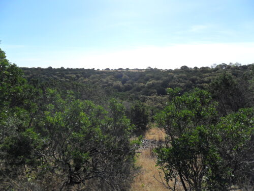
Project Location: Vanderpool, Bandera County, Texas
Project Type: Archeological Survey, curation, lithic analysis
Owner: Texas Parks and Wildlife Department
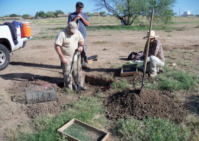
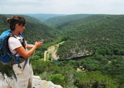
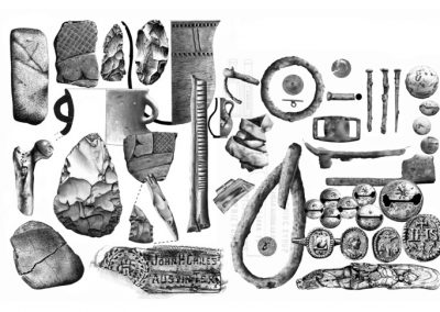
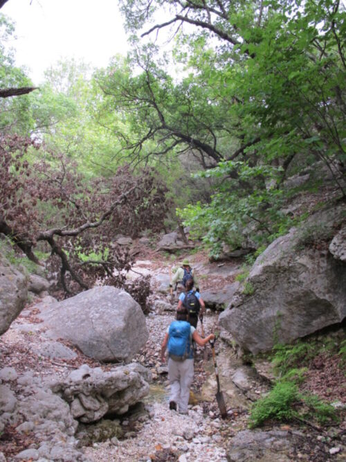
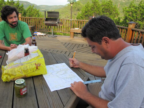
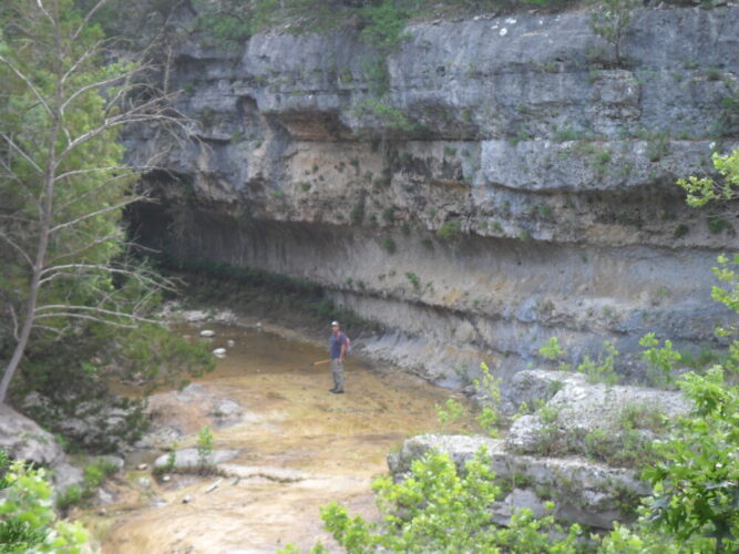
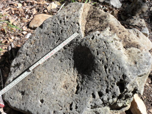
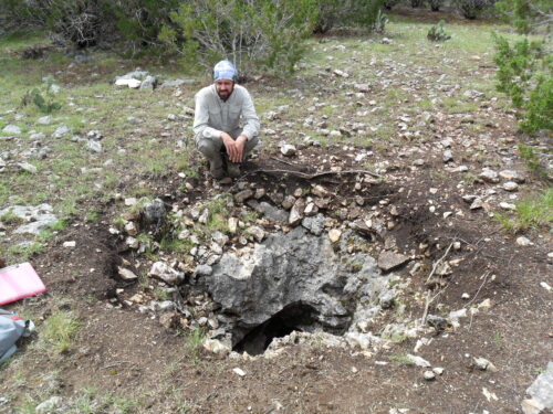
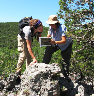
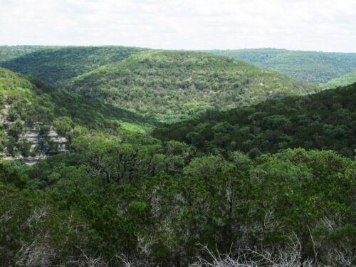
In June and October 2010, archeologists from Hicks & Company conducted an inventory survey of approximately 2,000 acres of the Lost Maples State Natural Area within the Sabinal River Canyon in western Bandera and eastern Real counties. The investigations were sponsored by the Texas Parks and Wildlife Department (TPWD) and, although much larger in size, conducted in accordance with the minimum standards established by the Texas Historical Commission for archeological surveys of 200 acres or less under Texas Antiquities Committee Permit #5655. The survey is part of a broader effort by TPWD to identify and assess cultural resources within its state park system for management and interpretive development planning. During the course of the survey, archeologists revisited the mapped locations of six previously recorded archeological sites and recorded 40 new sites. All formally recorded archeological sites were prehistoric in age, consisting of initial lithic reduction and procurement areas along the northern, western, and eastern uplands, surficial lithic scatters along the southern uplands, and burned rock middens on creek terraces. Additional isolated finds were both historic and prehistoric in age. Three previously recorded sites were officially designated as State Landmarks (SALs) prior to the survey and another previously recorded site is recommended for official SAL designation as a result of the completed investigations.